Uganda and Tanzania - Using GIS tools for planning groundwater recharge - Level 2
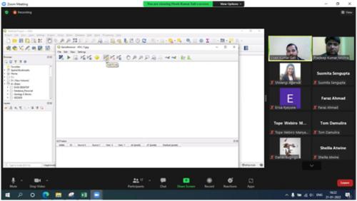
The online training on “Application of GIS tools for planning of recharge structures at village level”, was conducted for officials of Ministry of Water and Environment, Uganda and Ministry of Health, Community Development, Gender, Elderly and Children, Tanzania from January 17 - 25, 2022.
GIS is a decision-making tool especially for rain water harvesting including groundwater recharge, which analyses and locates the potentials for recharge. The application of GIS helps in mapping the existing resources and plans for the potential areas where recharge can be planned to augment the groundwater to meet the water demands in a sustainable way.
The training was designed for the water experts, engineers, hydro-geologists and GIS experts to build capacity on groundwater recharge through modern technologies like Remote Sensing, GIS and GPS, using rain water harvesting and watershed management approach. The training has been targeted to the practitioners and policy makers to adopt modern, reliable, affordable and efficient methods to recharge groundwater for a sustainable future.

The training introduced hands on exercise of GIS software’s and preparation of different thematic maps which can be overlaid and decisions for planning of groundwater recharge structures can be made.

Share this article